
Richard Laugharn
A Deeper Map
On display November 8–17
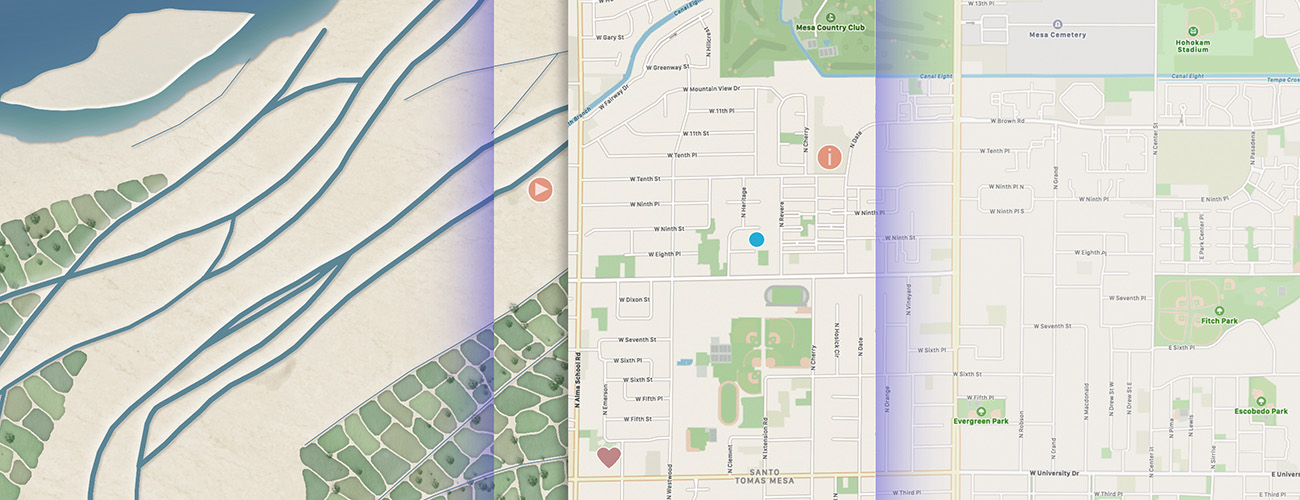
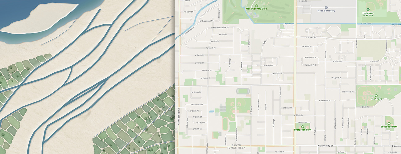
A Deeper Map is a public art project and mobile app that shows the location of historical canals and agricultural fields created by the ancestral Sonoran Desert people in relation to a modern map of the Phoenix metro area, where Salt River Valley residents now live, work, or go to school. The project provides a new perspective on the importance of water in the Valley while connecting users to the deep human history of the area. Visitors can try a demo of the app at Canal Convergence and explore the location of these historical canals and fields. The app will be available for download in spring 2020. A Deeper Map is the recipient of a New Arizona Project grant through the Arizona Community Foundation’s Water Public Art Challenge.
Artist Talk
Time and location to be determined.
Biography
Richard Laugharn is an artist and author with an affinity for the cultural and natural histories of the Sonoran Desert. His interest in visualizing the ancient irrigation of the Salt River goes back to the early 1990s, while his long-term photographic studies of individual desert plants reaches for an intimacy rarely achieved in landscape photography. Laugharn has a master of fine arts in photography from Arizona State University. His work has been collected in numerous museum and corporate art collections.
